|
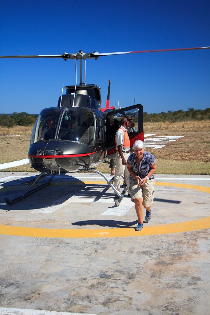 |
| Save landing | |
| Latitude: S 17°57'57,03" | Longitude: E 25°48'38,91" | Altitude: 917 metres | Location: Victoria Falls | State/Province: Matabeleland North | Country: Zimbabwe | Copyright: Ron Harkink | See map | |
| Total images: 6 | Help | |
|
|
|
| Save landing | |
| Latitude: S 17°57'57,03" | Longitude: E 25°48'38,91" | Altitude: 917 metres | Location: Victoria Falls | State/Province: Matabeleland North | Country: Zimbabwe | Copyright: Ron Harkink | See map | |
| Total images: 6 | Help | |